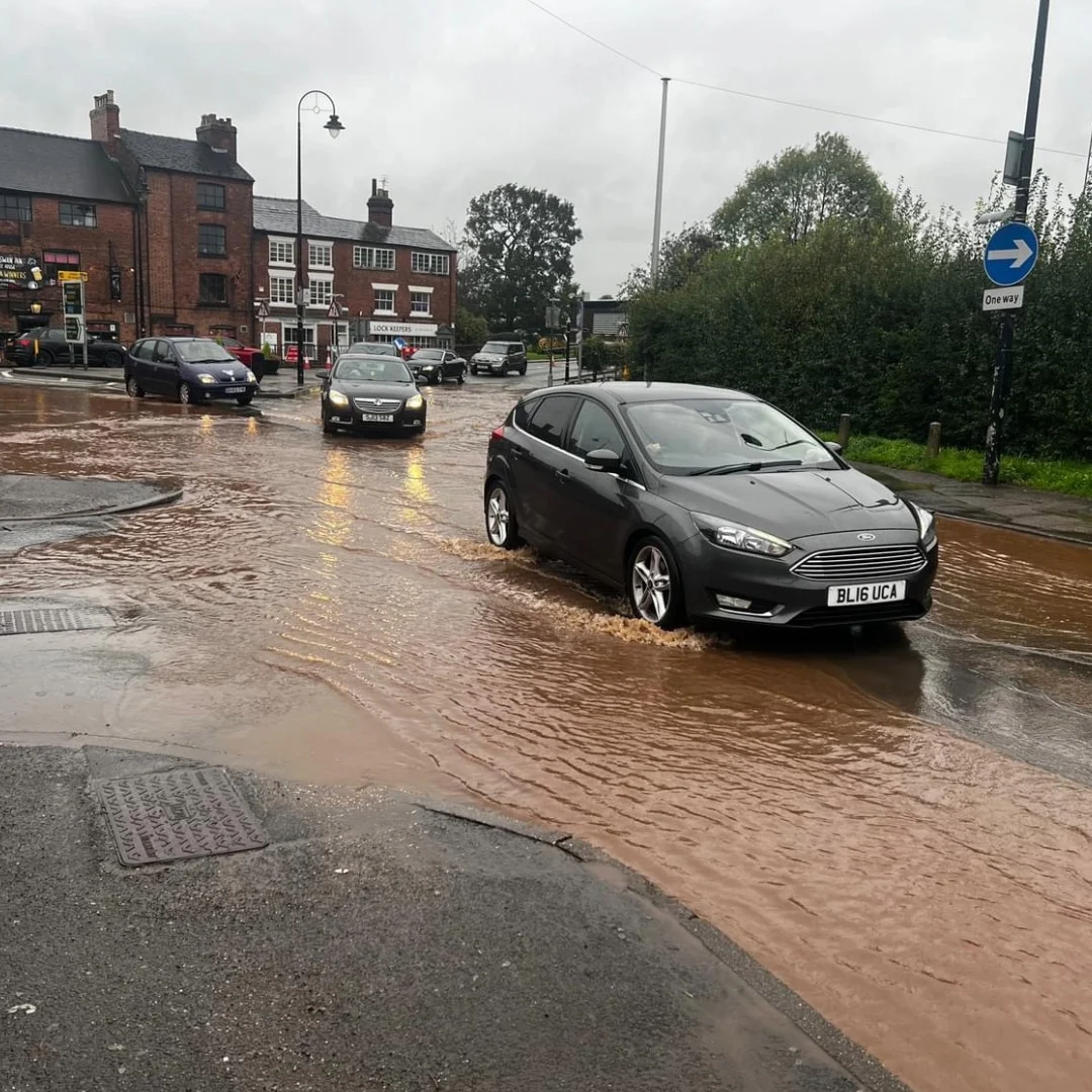
Stone has already been identified in official flood risk evidence as an area at high risk of surface water flooding, giving a local edge to a county council update due to be discussed by councillors.
Staffordshire County Council’s scrutiny committee is set to review how local flooding issues are being managed over the next year, through an updated Local Flood Risk Management Strategy aimed at helping communities prepare for more severe weather.
Why it matters in Stone
While the strategy covers the whole of Staffordshire, Stone is one of the places already highlighted in borough flood documents as facing particular pressure from surface water flooding. Official evidence for Stafford Borough says Stone was identified in the 2010 Surface Water Management Plan as being at high risk of surface water flooding. The same summary also notes 23 properties in Stone with a history of sewer flooding.
The borough’s flood risk summary says Stone is also affected by the wider layout of local watercourses and drainage routes, with the River Trent, the Trent and Mersey Canal, Filly Brook and Scotch Brook all part of the local picture. It also highlights local surface water flow routes around Opal Way, the B5026 and Arrow Place, as well as areas where water can back up behind the railway line.
That means a county level strategy review is not just an abstract piece of policy for Stone residents. It links back to risks already recognised closer to home.
What the county council is saying
According to Staffordshire County Council, the updated Local Flood Risk Management Strategy sets out how the county will continue to manage local flooding and help residents prepare for increasingly severe weather.
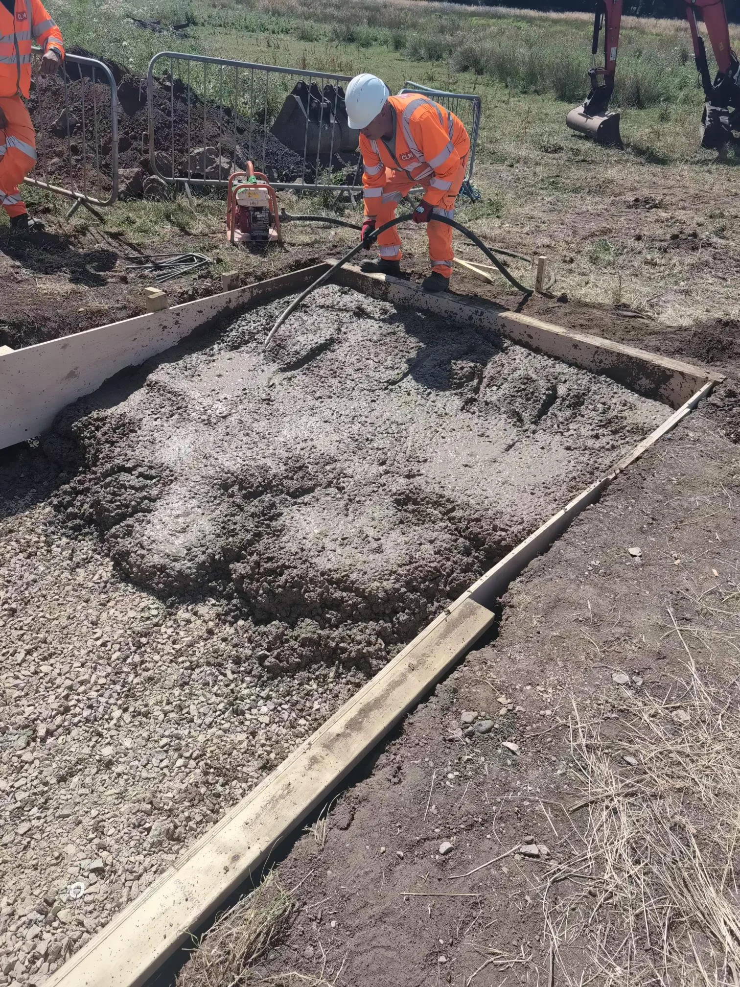
It also includes details of projects completed over the past year to help protect properties and businesses.
Part of that work sits under the A FAIR project, short for Flood Aware, Informed, Resilient, which is designed to improve community resilience to flooding by making flood information, warnings and practical advice easier to access. Staffordshire County Council has described the project elsewhere as an approach to improving preparedness and reducing the impact of flooding at community level.
The council says this is intended to help residents protect their homes, health and financial security during periods of heavy rainfall.
Over recent decades, Staffordshire has experienced more frequent and intense flooding, including 13 significant incidents since 2000, according to the county council release.
Andrew Mynors, Staffordshire County Council’s cabinet member for connectivity, said:
“Flooding is one of the most significant challenges facing Staffordshire, and we know the impact it can have on homes, businesses and wellbeing.
“Our updated Local Flood Risk Management Strategy sets out how we’re working with partners to target support where it’s needed most, strengthen local resilience, and help communities better understand their risk and prepare for increasingly severe weather.”
A wider county issue, with local consequences
The county council’s strategy looks at how flood risks are understood, how agencies work together during major incidents, and what steps communities can take to stay informed and better prepared.
Residents can access the full strategy, along with advice on reporting flooding and preparing for severe weather, on the council’s website.


1 comment
Robert Jones
I sincerely hope that when studying the future surface water flood risk issues for Stone that the impact of new build homes is properly taken into account by the planning authorities.
The area around Walton is currently facing outline planning for some 900 new houses. Severn Trent Water have highlighted the extra stress that such a programme will put on the present drain and waste service . The water run-off from roofs, drives and roads, within new developments, will replace the natural drainage provided by the farm fields on which the houses may be built and thus increase additional surface water flood risk issues. If the authorities are really caring about flood risk, then let them show it by better protecting the area, and its residents, by resisting the rush to build by developers in areas that will increase flood risk.