ALBOS has teamed up with Stone Ramblers to bring you a series of pleasant and hopefully not too strenuous walks in and around the town for the Summer.
This time, we’re embarking on a circular walk around Stone, which connects the two car parks at Westbridge Park and the Downs Banks. The route can also be used to construct longer walks starting off from Stone or the Downs Banks.
Distance – 5 miles
Time – Allow approximately 2.5 hours
Refreshments – The start and end point is The Star Inn, while the route also takes in the Brushmakers Arms and Wheatsheaf at Oulton.
Terrain guide – Quiet lanes around the outskirts of Stone, with a steep uphill section at Oulton, crossing fields to finish along the canal towpath. Please be mindful that fields and towpaths can be muddy and slippery underfoot.
The route…
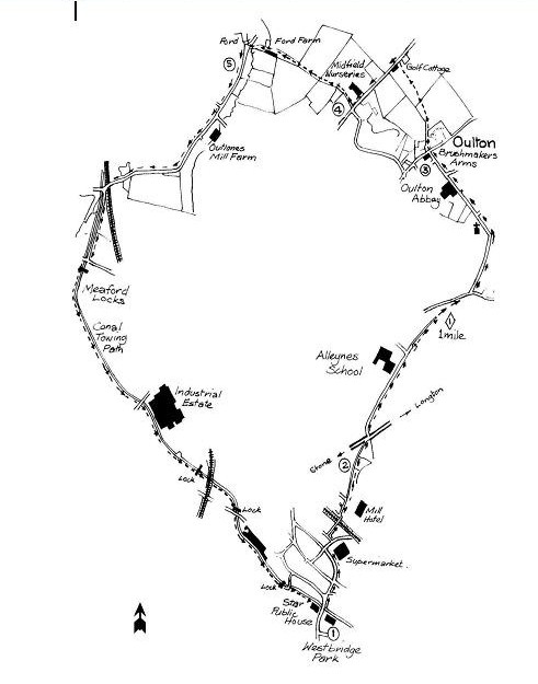
Leave Westbridge Park and turn right, with The Star Inn on the left. Keeping to the footpath on the right-hand side of the road, cross Lichfield Road and enter Christchurch Way, keeping the supermarket on your right. In 300 yards turn right before the petrol station into Mill Street. In 100 yards , just past the petrol station, turn left and enter the narrow public footpath . In 50 yards, before the car park, turn right and cross the footbridge over the railway line to the end of Granville Terrace. Immediately after the bridge turn left, then right into the road behind Granville Terrace and The Avenue. In 200 yards enter the footpath, Nanny Goat Lane, running behind the houses. The steeply banked wood on the right looks over the Scotch Brook towards Redhill and the site of the old millrace at the foot of the wooded bank. This ran through the mill, now The Mill Hotel, which claims to be where the first Hovis flour was milled, fact fans!
Proceed along the path until you reach the A520, Stone-Longton road. Cross the road diagonally right into Airdale Road, soon passing Alleynes School on the left. Enter Airdale Spinney at the top of the hill. Look for the footpath sign on the left within 100 yards. Follow the footpath behind the houses over a stile into a copse leading into Nicholls Lane. Cross the lane diagonally right, turning left into Church Lane, leading to Oulton village. Pass the Church of St. John the Evangelist on the left and, within 200 yards, Oulton Abbey, now a nursing home but previously a convent of the Benedictine Order founded in 1854 and providing education for young ladies at a school connected with the Abbey.
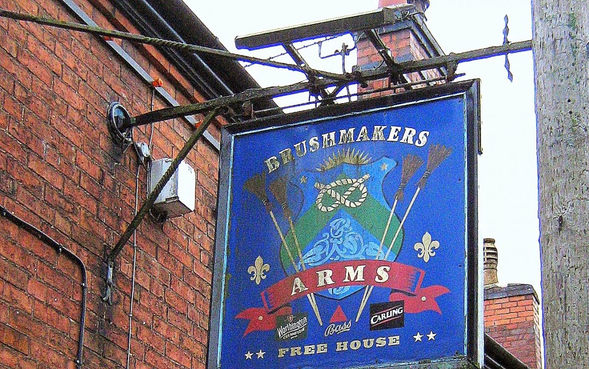
Continue to the Brushmakers Arms at the road junction. Crossing the road follow the footpath sign between two houses towards a kissing gate leading into a steep field. Follow the path through the field, through another kissing gate into a further field. The views from the top of the hill must be the best in Stone! Looking west on a clear day the Wrekin can easily be seen, and the Long Mynd in Shropshire. To the south is Cannock Chase. The area was the original site of Stone Golf Course, on the hill behind Oulton Grange, which is immediately in front of you as you face west. Continue along the crest of the hill to the stile leading on to Oulton Old Road. Turn immediately left down the road past Golf Cottage on the left. This cottage is very much as it was in the 1890s when it was occupied by the golf course green keeper. The earliest record of this house occurs in 1630 – and it has its own private ghost. WoooOOOOooooo!
Continue down the road to the old Midfield Nursery. Turn right into the drive and follow the path on the left of the nursery drive and over the stile into the field looking over Barlaston Downs towards Tittensor. Follow the path across the field, over the stile and down the left hand side of the field. Go over another stile and down the track to Ford Farm, through the farm to the road and turn left across the ford towards Meaford.
Follow the road for approximately 3/4 mile, crossing over the railway bridge. Turning left by canal bridge No.98 take the steps to the canal side. Continue past the canal locks towards Stone, passing under the pedestrian tunnel bridge under the Newcastle Road in 1 mile. On the left, across the canal, you will see the Ale Store of Joules Brewery, with the distinctive red cross trade mark of the old brewery in the brickwork. Continue on to the Star Inn, and under the bridge. Leave the canal there and turn right, back to Westbridge Park.
[box type=”info” align=”aligncenter” ]You’ll find lots more information about Stone Ramblers, including their latest programme of walks, on their website HERE. This and other walks can be found in the book ‘Walks Around Stone’, which is available to buy from Stone Library. There is also another book, also available from the library, called ‘Stone Circles’ which features walks in the villages around Stone. Both have been recently updated. [/box]